Valea Giumalăului (DN17)
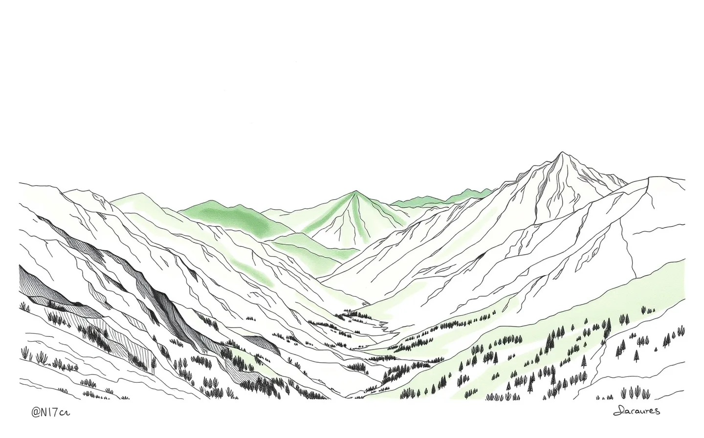
You are standing on DN17, looking out over the Giumalău Valley. The view is not merely scenic; it is structural. You are looking at the physical manifestation of the Carpathian system's division. The mountains before you are not a single block but a complex subsystem of the larger Alps-Himalaya chain that stretches from western Europe all the way to southern Asia. This is a fact of global geology, visible from this roadside pull-off in Bukovina.
The source text details a rigorous taxonomy. The Carpathians are divided into provinces, subprovinces, and units. The last level, the actual mountain ranges and basins, is classified as units. The main divisions are the Western, Eastern, and Southern Carpathians. You are in the Eastern Carpathians. But the classification here is specific. In Romania, it is usual to divide the Eastern Carpathians in Romanian territory into three formal groups: northern, central, and southern. This differs from the international approach of Outer and Inner sections.
You are looking at the northern group. The source assigns the abbreviation MMB to this range: Maramureș-Bukovinian Carpathians. This is the unit you see. The view encompasses the physical reality of this classification. The source notes that the division is largely undisputed at the lowest level, except for the Ukrainian part. The names are given in the language of the corresponding country. Here, the Romanian name is Munții Carpați ai Maramureșului și Bucovinei. This is the MMB.
The complexity arises at higher levels. The source states that various divisions are given for the higher levels, especially for the penultimate level. A geomorphological division has been used as much as the data was available. Other new physiogeographic divisions were used in other cases. This creates a landscape of competing classifications. The most confusing and diverse is the classification of the Beskids. But the MMB is clearer. It is a formal group in the Romanian system.
There is no legend in the source text for this specific viewpoint. The story is the classification itself. The source mentions that the Outer Subcarpathia lay outside the broad arc of the entire formation. They are usually listed as part of the individual divisions. The Suceava Plateau is listed in the Outer Subcarpathia. You are looking at the inner structure. The MMB is part of the Eastern Carpathians. The view is the unit. The context is the province. The system is the Alps-Himalaya. You are standing in a piece of a global chain. The source provides the order. You provide the view.
You are standing on DN17, looking out over the Giumalău Valley. The view is not merely scenic; it is structural. You are looking at the physical manifestation of the Carpathian system's division. The mountains before you are not a single block but a complex subsystem of the larger Alps-Himalaya chain that stretches from western Europe all the way to southern Asia. This is a fact of global geology, visible from this roadside pull-off in Bukovina. The source text provides a detailed overview of the major subdivisions and ranges of the Carpathian Mountains. It is a categorization of a system that is part of a bigger whole.
The source text details a rigorous taxonomy. The Carpathians are divided into provinces, subprovinces, and units. The last level, the actual mountain ranges and basins, is classified as units. The main divisions are the Western, Eastern, and Southern Carpathians. You are in the Eastern Carpathians. But the classification here is specific. In Romania, it is usual to divide the Eastern Carpathians in Romanian territory into three formal groups: northern, central, and southern. This differs from the international approach of Outer and Inner sections. The source notes that the Romanian approach is shown by adding abbreviations to the names of units within Romania.
You are looking at the northern group. The source assigns the abbreviation MMB to this range: Maramureș-Bukovinian Carpathians. This is the unit you see. The view encompasses the physical reality of this classification. The source notes that the division is largely undisputed at the lowest level, except for the Ukrainian part. The names are given in the language of the corresponding country. Here, the Romanian name is Munții Carpați ai Maramureșului și Bucovinei. This is the MMB. The source lists the ISO 3166-1 alpha-2 country codes. RO is Romania. This is your location.
The complexity arises at higher levels. The source states that various divisions are given for the higher levels, especially for the penultimate level. A geomorphological division has been used as much as the data was available. Other new physiogeographic divisions were used in other cases. This creates a landscape of competing classifications. The most confusing and diverse is the classification of the Beskids. But the MMB is clearer. It is a formal group in the Romanian system. The source mentions that the classification of a higher level title is known or sure, it is added at the end of the name in brackets. Here, the unit is the MMB.
The source text mentions the Outer Subcarpathia. These regions lay outside the broad arc of the entire formation. They are usually listed as part of the individual divisions of the Carpathian Mountains. The Suceava Plateau is listed in the Outer Subcarpathia. It is part of the Bucovina Highlands. The source lists the Bucovina Highlands and the Suceava Plateau together. This is nearby. You are looking at the inner structure. The MMB is part of the Eastern Carpathians. The view is the unit. The context is the province. The system is the Alps-Himalaya.
The source text provides a map on the right. It shows the main divisions. The map is not described in detail, but it is referenced. The source says the main divisions are shown in the map. You are looking at the reality of that map. The MMB is a unit in the Eastern Carpathians. The source lists the units in the Eastern Carpathians. The MMB is one of them. The source also lists the MMT, the Moldavian-Transylvanian Carpathians, and the MC, the Curvature Carpathians. These are the three formal groups in Romania. You are in the MMB.
The source text mentions the Wooded Carpathians. This is a broader term. It encompasses all mountain ranges within the central section of Outer Eastern Carpathians. This includes the Eastern Beskids with Polonynian Mountains. It also includes all mountains within the northern section of Inner Eastern Carpathians. This includes the Vihorlat-Gutin Area and the Maramureș-Rodna Area. The source says a similar standard is traditionally applied within broader use of the term Wooded Carpathians. This is a traditional application. It is not the formal Romanian classification. The formal classification is the three groups. The Wooded Carpathians is a broader, traditional term.
The source text discusses the Beskids. They are the most confusing and diverse. Their geologic features are fairly distinct. But multiple traditions, languages, and nationalities have developed overlapping variants for the divisions and names of these ranges. The source lists the Western Beskids, the Central Beskids, and the Eastern Beskids. It lists the sections within the Western Beskids. It lists the Hostýn-Vsetín Mountains, the Moravian-Silesian Beskids, the Turzovka Highlands, the Jablunkov Furrow, the Rožnov Furrow, the Jablunkov Intermontane, the Silesian Beskids, the Żywiec Basin, the Little Beskids, the Maków Beskids, the Island Beskids, the Gorce, the Rabka Basin, the Sącz Basin, the Beskid Sądecki, the Ľubovňa Highlands, the Čergov, the Czerchów Mountains, the Pieniny, the Orava Beskids, the Żywiec Beskids, the Kysuce Beskids, the Kysuce Highlands, the Orava Magura, the Orava Highlands, the Sub-Beskidian Furrow, and the Sub-Beskidian Highlands. This is a long list. It shows the complexity. The MMB is not part of the Beskids. It is a separate unit.
The source text mentions the Transylvanian Plateau. It is encircled by, and geologically a part of, the Carpathians. But it is not a mountainous region. Its inclusion is disputed in some sources. Its features are included below. This is a note on the plateau. It is not a mountain. The MMB is a mountain range. The source lists the units. The MMB is a unit. The view from DN17 shows the mountains. The source does not describe the view. It describes the classification. The view is the physical manifestation of the classification. You see the mountains. You see the valley. You see the structure.
The source text mentions the Serbian Carpathians. They are sometimes considered part of the Southern Carpathians. Sometimes they are not considered part of the Carpathians at all. They are included below. This is a note on the Southern Carpathians. You are in the Eastern Carpathians. The source lists the units in the Eastern Carpathians. The MMB is one of them. The source also lists the MMT and the MC. These are the three formal groups in Romania. You are in the MMB. The source says the division is largely undisputed at the lowest level. The MMB is a unit. It is undisputed. The higher levels are disputed. The province is the Eastern Carpathians. The subprovince is not specified for the MMB in the source. The source lists the MMB as a unit. It is part of the Eastern Carpathians.
The source text provides a list of units in the Outer Subcarpathia. It lists the Weinviertel Hills, the Dyje-Svratka Vale, the Vyškov Gate, the Upper Moravian Vale, the Moravian Gate, the Ostrava Basin, the Oświęcim Basin, the Kraków Gate, the Sandomierz Basin, the San-Dniester Plain, the Upper Dniester Plain, the Drohobych Highlands, the Dniester Plain, the Pokutsk Upland, the Bucovina Highlands, the Suceava Plateau, the Moldavia-Siret Groove, the Moldavian Subcarpathians, the Muntenian Subcarpathians, the Getic Subcarpathians, and the Getic Plateau. This is a list from west to east and south. The source says the difficulty of finding their exact subdivisions is high. They are given only as a list. The Suceava Plateau is in this list. It is part of the Outer Subcarpathia. You are looking at the MMB. It is part of the Eastern Carpathians. The source distinguishes between the Outer Subcarpathia and the Eastern Carpathians. The MMB is in the Eastern Carpathians. The Suceava Plateau is in the Outer Subcarpathia. The view from DN17 shows the MMB. The source does not describe the view. It describes the classification. The view is the physical manifestation of the classification. You see the mountains. You see the valley. You see the structure.